Showing posts with label Hill. Show all posts

Tuesday, 17 May 2011

Dundry montage


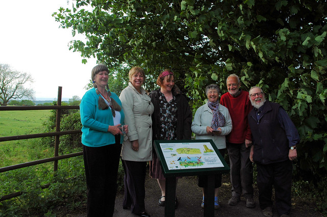
We unveiled the interpretation board up on Dundry Hill last Wednesday. And here's the evidence.

It was nice seeing the finished work. And meeting all the other people involved in the project. Most of whose names I can't remember, sadly, but that's Bee Peters there to my left (and your right).

The leaflets for the Dundry Hill walk will be available from various places, or you can download them from here (front of leaflet) and here (back of leaflet). You should also be able to download them from the Dundry website (though not just yet).

I've also created a montage of the main pictures, as you see here. If you would like a copy, do let me know.


Dundry montage 2, originally uploaded by Dru Marland.


It's dimensioned to fit standard frames, and would be printed on 260 gsm satin paper. Costs would be

A4 (21cm x 30cm) £8
30cm x 40cm £15
40cm x 50cm £20

Wednesday, 6 October 2010

Dundry Hill

This is a view of Dundry Hill, south of Bristol. It is looking northwards, with the village and the church perched above the steep slope on the north face. The church was built by the city's Merchant Venturers, so that the crews of ships returning to Bristol up the Avon could see it. Apparently.

I'm glad I persisted; this version is much better than the first two attempts. I used Sennelier ink, diluted, on dampened paper, for the fields, and it was smoother than the watercolour washes I'd used previously, and I didn't need to mask out the details. So that was a lesson learned.


Thinking maps, John Lee, my rather professorial friend, tells me that his Map of Elizabethan and Jacobean Bristol (to which I have added a few modest contributions, though I was rather pleased with the Bristol eskimos story) has now had 5,500 views. He has added further sites and information. Why not have a look?


View Elizabethan and Jacobean Bristol in a larger map